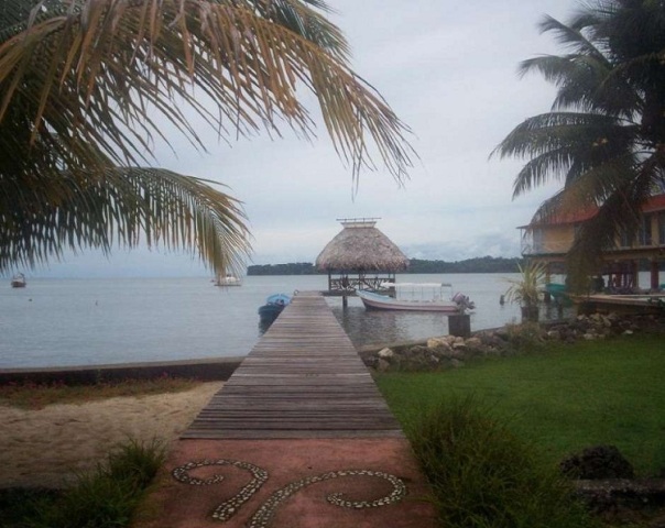
Guatemala is a country in Central America. Check out some interesting & fun facts about Guatemala.
Facts About Guatemala
Guatemala is a country in Central America, which is situated between the Caribbean Sea and the Pacific Ocean. Guatemala is mostly mountainous, except for the South coastal area and the vast lowlands of the Peten, in the north. The country has a hot tropical climate, more temperate in the highlands and drier in the easternmost areas. Guatemala experiences a variation in temperatures, owing to the differences in altitudes. The major cities are situated in the southern part of the country. The significant cities of Guatemala constitute of the capital Guatemala City, Quetzaltenango and Escuintla. The largest lake in the country is Lago de Izabal, which is situated close to the Caribbean coast. For some more interesting facts about Guatemala, read on.

Image: jnissa@flickr
Interesting Facts About Guatemala
-
The official name of the country is Republic of Guatemala.
-
The name Guatemala means ‘Land of the Trees’ in the Maya-Toltec language.
-
The country has a total area of 110,000 square km. The capital of the state is Guatemala City.
-
Administratively, the country is divided into 22 departments and subdivided into 332 municipalities.
-
The official language of the country is Spanish, while the currency is Quetzal.
-
Twenty-one distinct Mayan languages as well as several non-Mayan Amerindian languages are spoken here, especially in the rural areas.
-
Majority of the population in Guatemala is Ladino, also called the Mestiso, apart from the Whites. Ladino consists of the mixed Amerindian and Spanish people, whereas the Whites comprise of people of Spanish, British, German, Italian and Scandinavian descent.
-
Tajumulco Volcano is the highest point in Guatemala, with an altitude of 4,220 meters/ 13,845 ft. above sea level.
-
According to The Economist World, Guatemala was ranked as having the 2nd highest concentration of ozone in the world, in 2007.
-
There are three UNESCO World Heritage sites, namely, Antigua Guatemala, Archeoligical Park and Ruins of Quirigua and Tikal National Park.
-
The national flag of Guatemala has two blue strips on its sides, with a coat of arms in the center. The two blue strips represent the two water bodies.
-
Guatemala has 14 eco regions, which range from Mangrove forests to the ocean littorals.
-
There are 252 listed wetlands in Guatemala. The country is recorded to have 100 rivers, 61 lagoons, 5 lakes and 3 swamps.
-
The main rivers draining the land are Motagua, Dulce, Sarstun, Polochic abd Usumcinta.
-
The country has a distinct fauna of its own and has about 1246 known species inhabiting it.
-
As per the CIA World Factbook, Guatemala is recorded as having a per capita GDP (PPP) of US$ 5,000. The country is ranked one among the 10 poorest countries in Latin America.
-
Agriculture contributes as one-fourth of the country’s GDP. Coffee, bananas and sugar are the main products of the land.
-
Guatemala is a storehouse of a number of libraries and museums. Some of the important names in this list are the National Library, the National Archives, the Museum of Archeology and Ethnology.
-
Constitutional Court or Corte de Constitutctionalidad is the highest court of the land in Guatemala.
See also
More from iloveindia.com
- Home Remedies | Ayurveda | Vastu | Yoga | Feng Shui | Tattoos | Fitness | Garden | Nutrition | Parenting | Bikes | Cars | Baby Care | Indian Weddings | Festivals | Party ideas | Horoscope 2015 | Pets | Finance | Figures of Speech | Hotels in India : Delhi | Hyderabad | Chennai | Mumbai | Kolkata | Bangalore | Ahmedabad | Jaipur
- Contact Us Careers Disclaimer Privacy Policy Advertise With Us Lifestyle Sitemap Copyright iloveindia.com. All Rights Reserved.


